- Joined
- Oct 16, 2015
- Messages
- 5,665
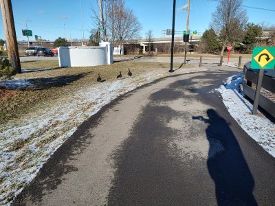
As an avid cyclist, I would be the last one to limit such things. I'm always ready to participate. This city has a fairly good network of dedicated trials, some share small sections of city streets to connect them. It is better as you go north-south, since Columbus is essentially split east-west by a river, actually a couple of them converge near downtown. Crossing east to west is not as bad to the north, but south of there, only 3 crossings/bridges exist. One of them is not even legal for bicycles. It's over 10 miles south, before you reach another bridge.
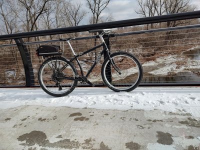
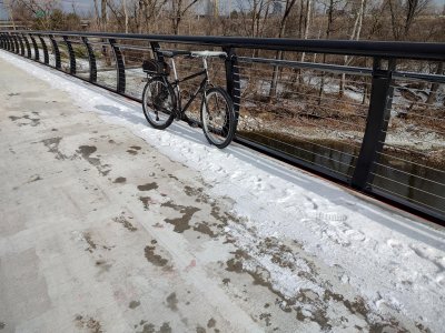
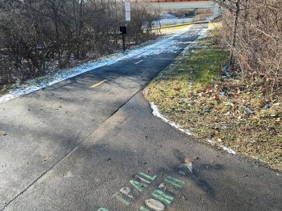
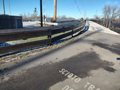
All that to say....Wow, did they waste a lot of money on this thing. The pics below show a small bike bridge, on the near west side of town. It crosses over a feeder, that heads toward that downtown river. It's a thing of beauty; wide, pretty rails, etc. but, it is only a couple of hundred feet long and only 50 ft or so, from a regular street bridge. The street has crossed this tributary, since before I was born. I have used it as a connector/entry point to the trails, for years. On each end of the street bridge, is a part of the trail. As you head north, the near side of the bridge, you can go east. Cross the bridge, and the trail loops under and heads west.
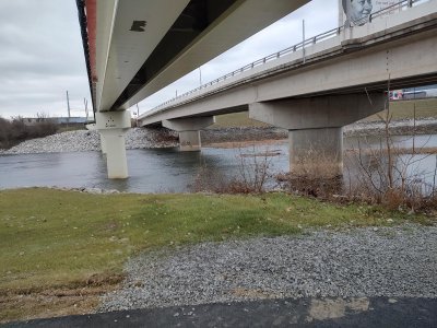
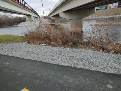
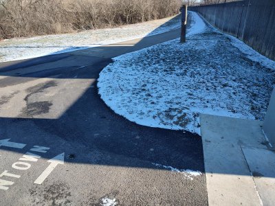
This brand-new bike bridge, does exactly the same thing! I just don't see why this is where they chose to spend this much money? There are plenty of other things that could have been done. You can see part of the trail, through the railing, of the last pic. That goes under, to where I was standing for the other pics, and heads west.
All that to say....Wow, did they waste a lot of money on this thing. The pics below show a small bike bridge, on the near west side of town. It crosses over a feeder, that heads toward that downtown river. It's a thing of beauty; wide, pretty rails, etc. but, it is only a couple of hundred feet long and only 50 ft or so, from a regular street bridge. The street has crossed this tributary, since before I was born. I have used it as a connector/entry point to the trails, for years. On each end of the street bridge, is a part of the trail. As you head north, the near side of the bridge, you can go east. Cross the bridge, and the trail loops under and heads west.
This brand-new bike bridge, does exactly the same thing! I just don't see why this is where they chose to spend this much money? There are plenty of other things that could have been done. You can see part of the trail, through the railing, of the last pic. That goes under, to where I was standing for the other pics, and heads west.
")


 My pet project. The whole thing is kind of odd around here. The wheels were built by Sugar Wheelworks in Portland Or. and Jones isn't far from there either. I basically road ride it, with some gravel and fire roads, but they are really intended to be a mountain bike.

")